


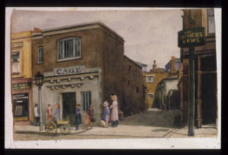
Mill at Camberwell
MediumDrawing
ClassificationsArtworks/Commemorations/Photographs
Terms
Object numberGA0343
DescriptionThis tower mill stood in the fields east of Wells Way and appears on Bryant's map of 1823. It was known to be a corn mill, but nothing is known of who operated it or when it was demolished. The naming of Windmill Place, off Wells Way, commemorates the mill.On View
Not on viewCollections


1901

1780 - 1800
John Arthur Poulter


1835
