Skip to main content
Collections
Advanced Search
Expand
View PDF
Images(6)
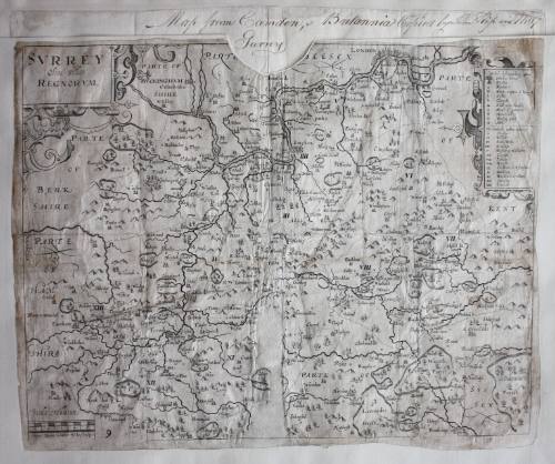
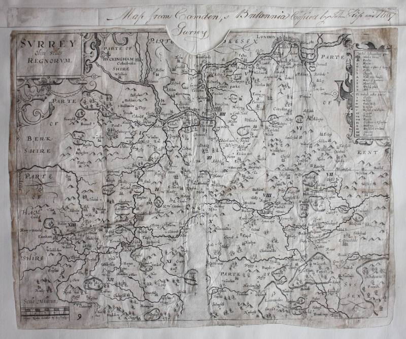
Map of Surrey from Camden's Brittania
Previous
Next
Images(6)
Map of Surrey from Camden's Brittania
Date
1607
Medium
Map
Dimensions
Object/Work: 310 x 370 mm
Classifications
Artworks/Commemorations/Photographs
Terms
Object number
GA1324
On View
Not on view
Collections
Art Collection
Discover More
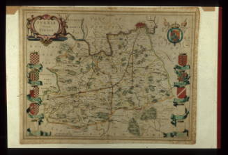
Map of Surrey
Anonymous
1645
Bowles Map of London (SE section)
L.J.S. Sherwood
c.1925
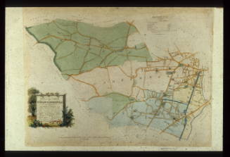
Plan of the Parish of St Giles, 1834
William Greenaway Poole
1837
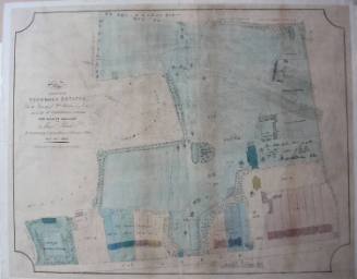
Plan of part of Grove Hill estate, prepared for sale by auction
W. Annan
1836
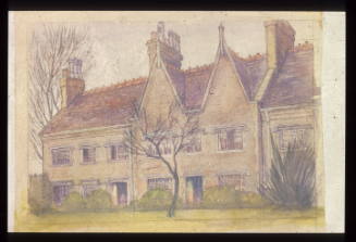
Camden Almshouses, Camden Avenue
L Johnstone
Undated
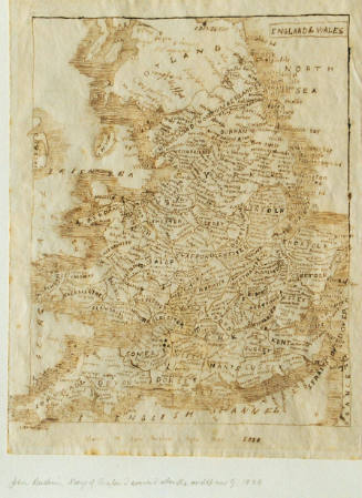
Map of England (made age 9)
John Ruskin
1828
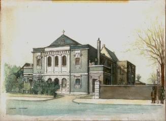
Camden Church 1951, Peckham Road
Albert P. Jaques Warren
1951
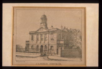
Camden Church, Peckham Road
William Griggs
c.1870
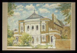
Camden Church, Peckham Road.
Leslie Gilbert
Camden Church/ Passmore Edwards Gallery
Terence Scales
1951
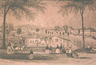
Peckham Rye, Surrey
Anonymous
1863
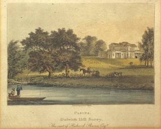
Casina, Dulwich Hill, Surrey
John Hassell
c. 1817