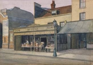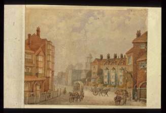

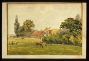

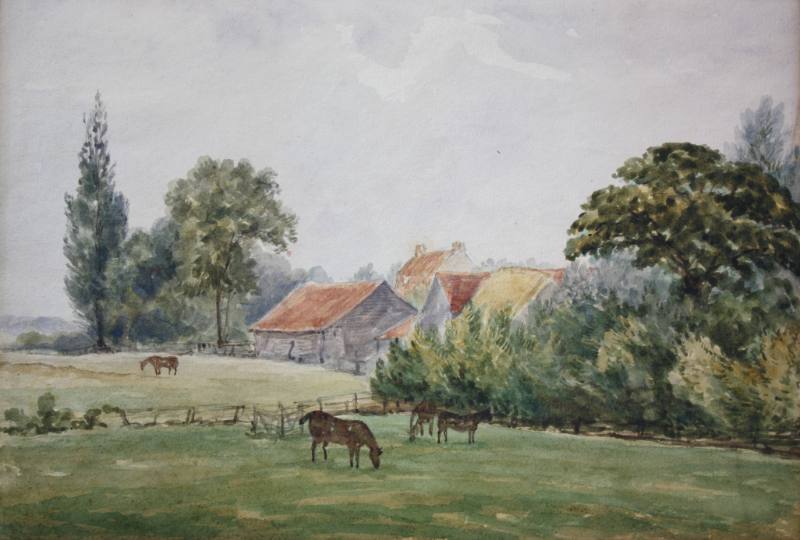
Peckham Rye, Homestall's Farm
MediumWater-colour
DimensionsObject/Work: 185 x 265 mm
ClassificationsArtworks/Commemorations/Photographs
Terms
Object numberGA1707
DescriptionShown on the 1868 Ordnance Survey Map as a working farm surrounded by fields and orchards, Homestall Farm and the neighbouring Charlton House are long gone. Lying to the south of the bend on Strakers Road, both were demolished and the area became Peckham Rye Park.On View
Not on viewCollections

E. Calcott